
Photo op at castle viewpoint.
Day three: Consuma to Stia — 16.9 km (10.5 miles)
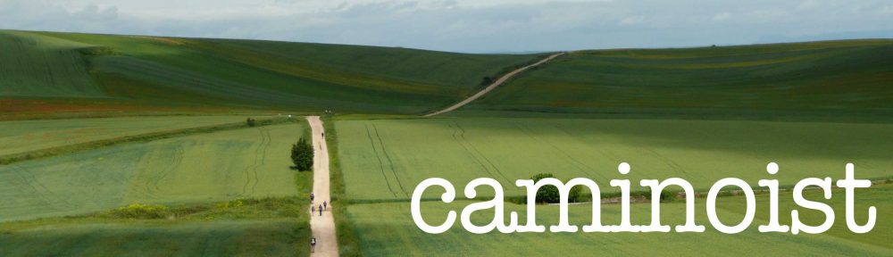
A good day of walking. After Castel Castagnaio we discovered the official path has changed. It’s well-marked and good, so I’ll update my book with the new path and its revised entry to Stia. Everyone walked the whole way and is well and we’ve seen five other pilgrims in the last two days.

Group pic as we leave Consuma.

Looking out from the top of the Pass.

New Tau marks are a great improvement!

Castle and mountains.

The new route.

Donkeyville.

Stia panorama.

Hi Sandy,
When I used your guidebook to do this walk, I found myself wishing you would tell us which waymarks to follow for each section. Eg. “When you leave X, follow the blue and yellow way-marks all the way to Y.” That way it doesn’t matter if the path changes. (I didn’t have a GPS and was totally waymark and guidebook dependent.)
Happy trails!
Kay
That would be lovely, yes. Sadly, the way marks change. At least they are improved now over three years ago. I’ll have a full report once I’ve finished re-walking in early October.